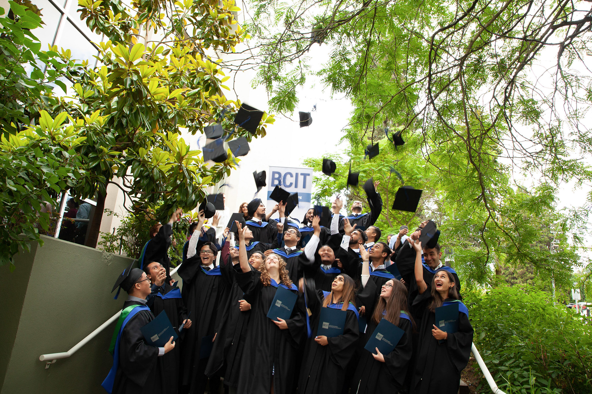
BCIT student traces salmon through digital cartography
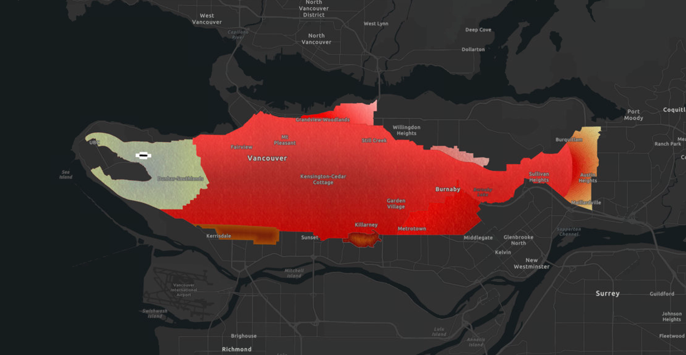
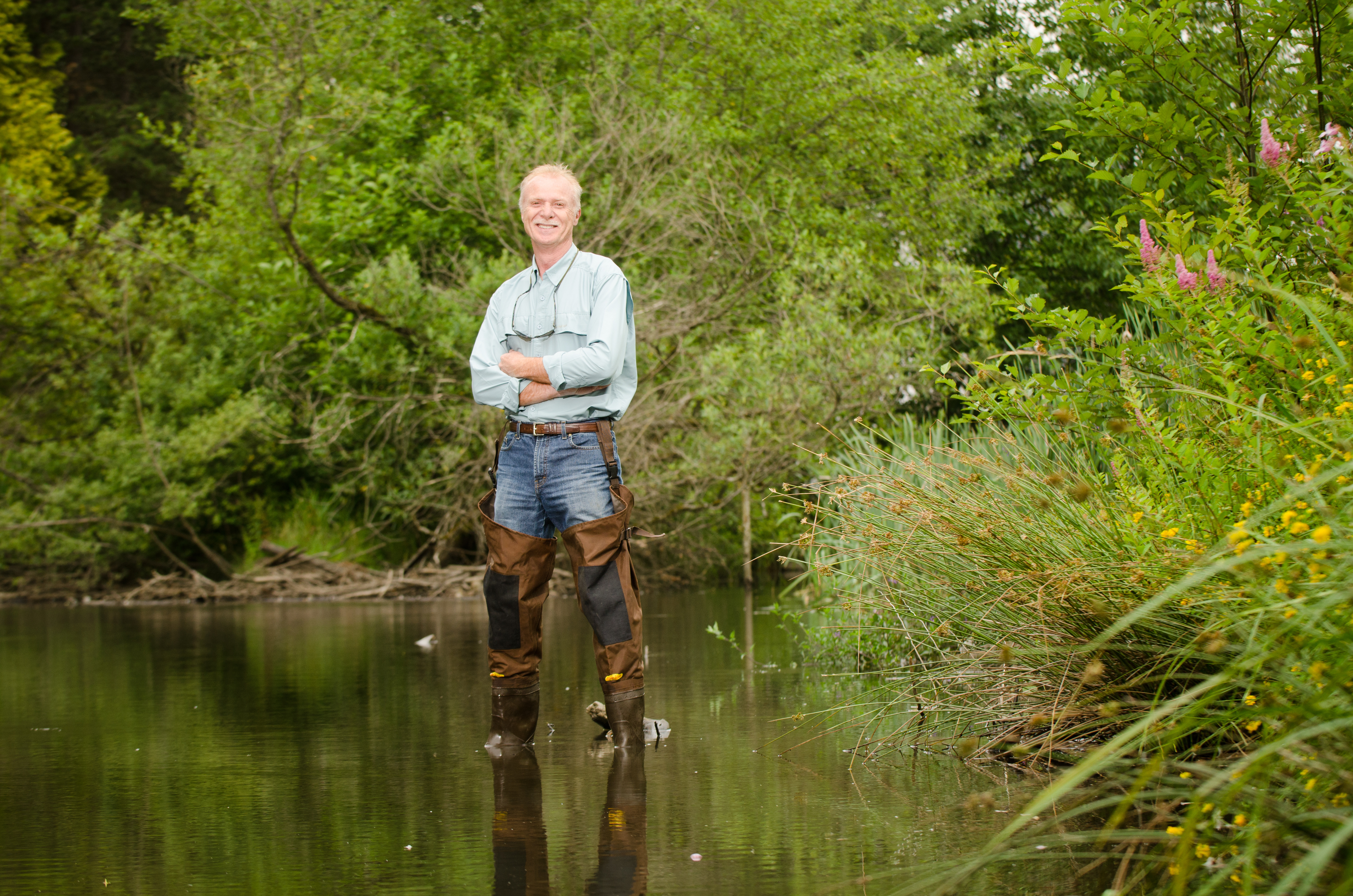
Urban roadways aren’t your typical medium for illustration, but for Tristan Bobin, they present a unique opportunity to evoke meaning about a place through imagery. As a student of Geographic Information Systems at BCIT, Tristan took a special interest in how digital cartography could be used to visualize a story in the landscape. Using his … Read more