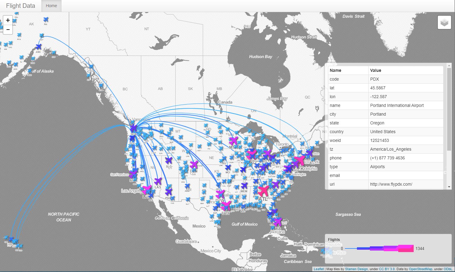
People and products are constantly travelling around the world. Think of the last time you tracked your parcel’s delivery to your doorstep. Or maybe you’ve checked the progress of an airplane—whether it’s the one you were sitting on, or the one you were waiting to greet at the airport—as it flew in from overseas.
In any of these instances, you’re looking at responsive, real-time maps, and that means you’re interacting with Geographic Information Systems (GIS). All organizations—private companies, public services, and non-profits—rely on these systems to facilitate our global flows of people, products, and resources. It’s no surprise that the need for GIS is at an all-time high, and at BCIT, there are several ways to get the skills you need to join this dynamic field.
What is GIS and how does it work?

Business moves almost as quickly as consumers’ interests change. That’s why GIS technicians and analysts are so important: they can plot vast databases using geospatial technology and digital mapping software. Suddenly, what had been a bunch of disconnected data points become a coherent pattern of trends in a distinct area—allowing you to make better decisions and reach local and global customers in less time.
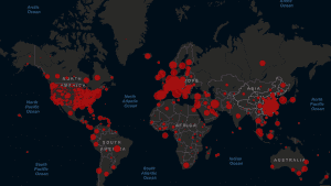
This type of geographic data and information is needed in government and social services as much as in business and marketing. Whether you work in environmental management or civil engineering, real estate development or healthcare and emergency response, there’s going to be a demand for digital mapping skills. In global health scares like the COVID-19 crisis taking place today, GIS systems are helping policymakers and epidemiologists track the pandemic and protect the public.
Bringing new dimensions to big data
So what does this look like in practice? Let’s use geology as an example. A geologist’s job often requires trekking to remote areas, marking outcrops of rock, bagging mineral samples they find in the field, and mapping their progress. Now imagine they’re working in tandem with a GIS analyst—or had the GIS skills and software themselves—to relay and record this information in real time. Mineral outcrops could be converted into polygons on an interactive map, the types of rock samples could be plotted in the areas where they were collected, and the geologist’s team could more accurately infer the locations of the precious metals they’re looking for.
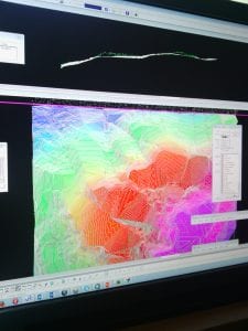
But that’s just the beginning. If the geologist drilled in those areas to extract core samples, GIS technology could be used together with the team’s working knowledge and pre-existing data to build probable 3D models of the underground ore body. It’s amazing how much further they’d be in their exploration and excavation with digital maps on their side.
Similarly, a GIS analyst working in wildlife conservation could track endangered species, charting their migrations on digital maps. An ecosystem management expert, on the other hand, could collate weather and climate data to monitor the risks of fires or floods. GIS specialists in urban planning can also leverage these same tools to coordinate land use, utilities, and transportation networks. The choices are nearly unlimited.
Gaining your GIS certification at BCIT

As the demand for GIS grows, so too do the number of online platforms offering training, sometimes for free. But as the number of job seekers in this field increases, it’s those who are well-educated and officially certified that truly differentiate themselves in the eyes of potential employers.
Your best option is always going to be a certificate, diploma, or degree in Geographic Information Systems from a credible institution. All GIS-related courses at BCIT are designed in collaboration with an Advisory Committee of industry experts and leading employers, and constantly updated so that students are always using the latest tools and technology.
1. Advanced Certificate in GIS
If you’re a professional looking to advance your career with Geographic Information Systems training, then the Advanced Certificate in GIS at BCIT can help you achieve your goals. There are many roles that can benefit from having the additional know-how of a GIS analyst—some of which might surprise you.
For instance, a retail analyst with GIS capabilities, can plan a brand’s future brick-and-mortar stores based on geographic data and information—mapping postal codes to consumer purchasing behaviour, or calculating travel times from major transit hubs. They can even measure the success of marketing campaigns by correlating positive and negative social media posts with specific locations to see what’s resonating and what’s missing the mark with target demographics.
The Advanced Certificate at BCIT consists of seven GIS courses. The first two provide foundational knowledge, including hands-on practice with ArcGIS software. The next four courses allow you to hone these skills—mastering ArcGIS, working with massive datasets, developing spatial databases, and analyzing different types of maps and aerial images. The certificate concludes with a capstone project, in which you apply your new knowledge of GIS in your own field or industry.
2. Advanced Diploma in GIS
For university or college graduates looking to add in-depth Geographic Information Systems training to their resume, the Advanced Diploma is a great option. Several disciplines can easily ladder up to this GIS program: geology, geography, forestry, engineering, computer science, environmental science, and urban planning are just a handful, though everything from sociology to archaeology to economics is entirely relevant.
Compared to the Advanced Certificate, the Advanced Diploma in GIS program is significantly more intensive. It can be completed full-time through classes at the Burnaby campus, or part-time in an online format, though it’s possible for students to do a combination of both. The program ends with a GIS project that’s conducted with an industry sponsor, or a GIS practicum that’s completed in a sponsor’s workplace. Both are a unique opportunity to put your understanding of geospatial technology to use and gain professional experience.
3. Bachelor of Technology (BTech) in GIS
If you have an Associate degree or a college Diploma but are looking for a full Baccalaureate degree, consider the BTech in GIS at BCIT. It follows the same technical GIS course curriculum as the Advanced Diploma, but you need to supplement it with additional credits in management and liberal arts, plus get 6 months of GIS work experience, to earn your Bachelor of Technology. When enrolled in the BTech program, the GIS project course is mandatory.
Training as a GIS technician while studying complementary disciplines gives you an opportunity to specialize and differentiate yourself. You can complete the program in just two years as a full-time student, with the first year taking place on campus and the second year taking place online and with your GIS employer. However, the entire GIS degree can be done online over three years. You can even take as long as seven years to study part-time through a combination of in-person and online courses and getting your work experience.
SEE MORE: What’s the difference between a polytechnic and a university?
A map is so much more than a map in the digital age, and no matter what career path you choose to pursue, GIS certification could be the asset that gives you a competitive advantage. Learn more about the Geographic Information Systems options at BCIT or talk to a program advisor.
