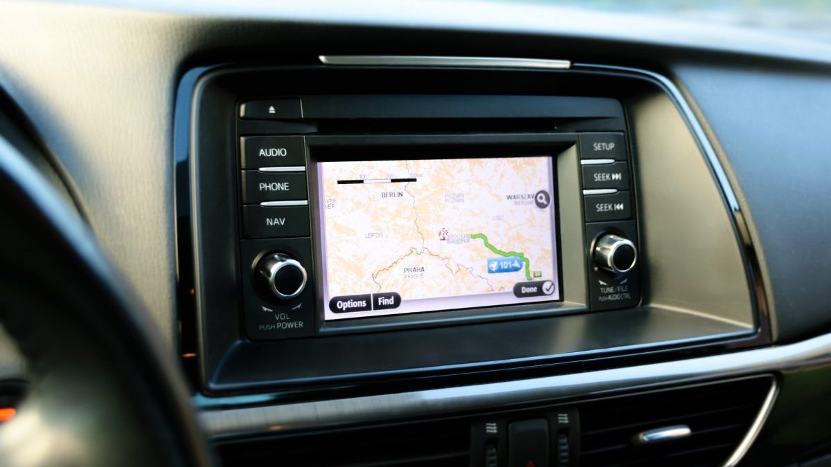
Imagine that you just landed at the Honolulu airport in Hawaii. The air is fragrant with tropical flowers and the sun is warm to your skin. You want to get to your hotel to start your well-deserved vacation. Getting into your rental car, you turn on the in-car navigation system, enter your hotel address, and off you go. You arrive quickly, despite a minor detour thanks to the navigation system. Your vacation has begun. Thank you GIS!

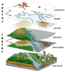
A Geographic Information System (GIS) is a tool everyone needs, but may not realize it. A GIS can be thought of as digital maps that can be queried to help you figure out things such as the fastest route to your hotel, or the potential extent of flooding if the Fraser River overflows its banks during spring thaw.
It is a pervasive technology which is being employed in all sizes of business and government agencies. A Google Map embedded in a corporate web page is a simple example of how GIS is used. Maps on the news that show the weather forecast is another example. Companies can use GIS to track you too. When a store asks for your postal code, they can tie your purchase – or survey response or preferences – to where you live, and find others with similar preferences, for promotions or sales.
Are you a business owner looking for a competitive advantage? Training your staff how to use GIS to collect and process data is becoming more important to all users, not just GIS specialists. A retail analyst may want to determine the best location for a new coffee shop. In the past they may have marked locations of competitor stores on a paper map, but now with GIS, they can do that digitally and add census data, bus routes, walking times, etc. Identifying store locations may be only a tiny part of the retail analyst’s job description, but through the use of GIS they may do the task faster and more precisely.
There will be no shortage of job opportunities for students graduating with GIS skills. Forestry, Mining, Energy and Transportation all need maps to search for or manage their resources or assets. With LNG and potential oil pipeline expansion across BC, there is a need to map, monitor, and manage these assets, the surrounding land, and protect the population in case of emergency. Small business, tourism, technology and the Green Economy can all make use of GIS to give them a competitive advantage.
Aboriginal Peoples & First Nations can use GIS to manage their natural resources, document their heritage, and interact more authoritatively with companies requesting to access of their Territory.
Whether it’s to help clarify Indigenous land claims, plan the safest route for a pipeline, identify the best location for a coffee shop, or direct you to that soccer game, GIS plays a vital role in the lives of British Columbians.
It’s the thing you didn’t know you can’t live without. Now you do. You’re welcome.
