
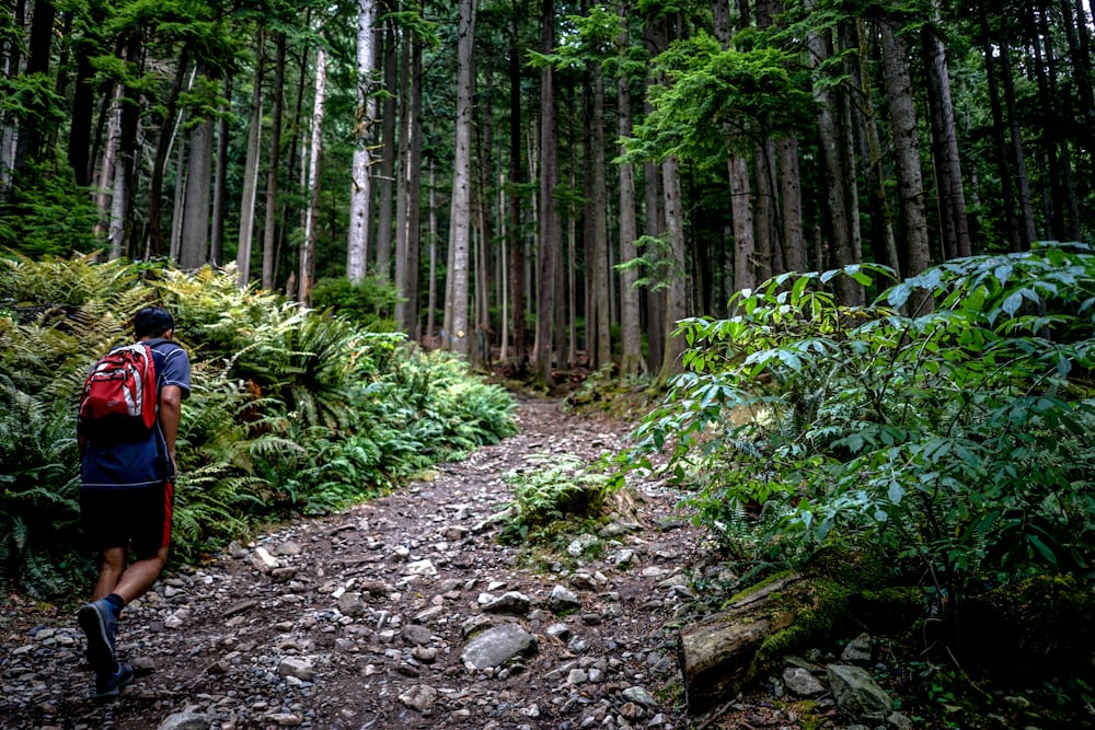
In the springtime and summertime, most people like to go to another city and country to go hiking with family and friends and by themselves to go hiking. To enjoy nature and see some different kinds of animals. In this story, I want to share some good places to hike in Vancouver, and I will share the background on that places and what you can see when they go to that places to do the hiking. Also, I will share some of my personal opinions about that place, so when you go with your friends, family and yourself to that place to visit one day and you can have some fun during this summer time with your friends, family and by yourself. Those places I share with you will be in Vancouver and Canada, and you can quickly go to or take the transit to that place.
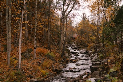
The first place is “Peterson Creek Nature Park,” loathed in Kamloops. Peterson Creek is the city park. It encompasses almost 100 hectares and offers about 10 km of trails. These trails are challenging, and many offer spectacular city views. There is a picnic area at the downtown entrance to the park if families wish to take a break or have a nice lunch. This park is suitable for hikers, dog walkers, and mountain bikers. This mountain looks nice to visit, and you can bring your dog to go hiking together, and also you can bring a bike to do the hill ride by yourself, with friends and your family members. But in the wintertime, it would be bad for the people who go there to go hiking base the road is too many rocks, which will be so slippery. It will be easy to fall, so it is not good to go in the summertime is better because you can have a chase to see the views of the downtown city and the name for the 1.7-kilometre paved stretch connecting pedestrians and bikers between Sahali. Downtown means “deep valley” in Secwépemc and pays tribute to the area’s historical ties to the Shuswap people. There is signage at either entrance to the trail (at Glenfair Drive and at, Summit Drive and Notre Dame Drive) that details the importance of oral tradition and knowledge keepers. It would be best if you visited there during the summertime with friends and family, you can walk your dog, or you can go by yourself, that would have so much fun and enjoy the sunshine in the summer – time.
Marta Wave / Pexels
The second place was Grouse Mountain. This is located in North Vancouver, in 1894, when a hunting party shot a blue grouse bird and named the mountain in the bird’s honours. However, it wasn’t until the 1920s and early 1930s that Grouse Mountain saw the first big wave of adventurous hikers. Thousands of people flocked to the face of the mountain each year, looking to reach the cabins in the Grouse Mountain village at the foot of what is now known as The Cut ski run. Conversely, Grouse Mountain was first developed in 1981 by mountaineers looking for a challenging and convenient workout to sustain them for their longer hikes. Seeking a steeper route than the British Columbia Mountaineering Club, known today as the BCMC Trail, they began following well-worn animal paths in the rough, completing the new trail in the winter of 1983. In these places, the length is 2.5 kilometres (1.55 miles), the elevation gain is 800 metres (2,624 feet), and the base is 290 metres above sea level (951 feet). Also, the summit is 1,090 metres (3,576 feet), the real stairs are 2,830, and the final time to finish is around 2 to 2.5 hours to complete the hike. This place is perfect for hiking and running too in the summertime and the springtime with friends, family and by yourself; when you do hiking and running is better when you wear the earphone to listen to music and some audiobook, as it will give you more motivation to do the hiking and running.
Aaron Thomas / Unsplash
The Third place you can go is to the Capilano River Regional Park, which features a 2.6 kilometre (1.6 miles) trail that winds through the canyon, passing streams and stunning views of the surrounding mountains. It only gains about 100 metres (329 feet) in elevation, so this trail is open to hikers of most fitness levels. It starts and ends at Cleveland Dam, which provides excellent scenery on both ends of the hike. The trail also passes through the Capilano Salmon Hatchery, a free attraction offering an up-close look at the migrating salmon in the river (8 am – dusk). The loop trail takes roughly 1 hour to complete. This places I want to go to one time because it is so beautiful in these places. I want to go on one day with my friends or by myself and take my camera with me because I want to talk a lot of pictures, and I can share them with my friends and my family to say to them next time when they come to Vancouver to visit me, and I will take them to there to stay.

Wayne / Flickr
The Fourth place is called Pacific Spirit Regional Park in Vancouver. With over 50 kilometres of trails, there are countless hike options in Pacific Spirit Regional Park near UBC. Most courses have excellent tree cover to keep you a little drier. Use the trail map to plan your route. Some great rainy-day options are the Lily of the Valley Trail near 16th Avenue or the East and West Canyon Trails off Chancellor Boulevard. Both have sections of gorgeous rainforest. This place contains over 73 km of walking/hiking trails, 50 km of which are designated multi-use and available for cycling and horseback riding. There is a Park Centre which is located on W 16th Avenue.
In 1975, BC Parks established ninety hectares of Pacific Spirit Regional Park as the UBC Endowment Lands Ecological Reserve. This area is designated for research and is not open to the public. The entire section of Pacific Spirit (running from Acadia Beach in the north to Trail #7 in the south) is designated as optional. This place is very close to UBC and is petty in the summertime. Try to go with friends to visit.

Richard Jack / Flickr
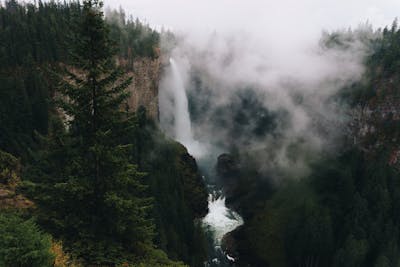
The fifth place is called “ Norvan Falls,” A waterfall in the lush green forests of Lynn Headwaters Regional Park; Norvan Falls is the perfect hike that can be completed almost any time throughout the year. From the parking lot, walk across the Lynn Creek Bridge to the map on the other side and sign in on the registration board. Head to your left and continue walking along the creek as it hugs the river and c through groves of second-growth Cedar. This area was logged in the early 1900s, and many remnants from those days remain along the trail, including an old logging cart where trees are growing out, old rusty saw blades, and other tools. And this is the intermediate level, and the time will be 5 hours, and the elevation gain is 195 meters. The season is year-round, and it is driving around 40 minutes from Vancouver. This place has public transit and is dog friendly, and maybe one day I will bring my dog and take them to see the waterfall together and take some pictures and take the memory with my dog and in the future, it would be the happiest moment I did and have some the best time with my dog and also, I suggest you visit there one day with you friends and your family too. That would be so nice.

Ben Rogers/ Flickr
The six-place will be Gold Creek Canyon Loop, Maple Ridge. This bridge is excellent, and most people take many pictures there. So, this place With the addition of a bridge across Gold Creek in 2015, you can now do a great loop hike on the East Canyon and West Canyon Trails in Golden Ears Provincial Park. When it rains, the mossy forest seems to glow bright green and the many creeks thunder. The hike is a 12 km loop that takes about 4 hours. Bring the park map to find your way. This trail is rated Intermediate due to its length and one section of the steep and rugged route. Aside from this, despite being long, most of the course is easy as it follows old logging roads which climb and descend gradually. Starting from the Gold Creek parking lot, walk to the far end and look for the signs to the East Canyon Trail (this is a different trail than the one to Gold Creek Falls). Follow the path as it briefly climbs, then goes left onto another track and head away from the parking lot. Not too long after walking along the connector trail, you reach the. Try Canyon Trail. Go left and begin hiking into the backcountry.
Lars Mai / Pexels
In these places I share with you, you can visit one day with your friends and your family member, or you can go by yourself and enjoy this summertime and have some fun and remember to take a lot of pictures.