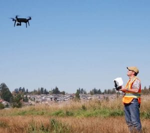
BCIT is excited to announce its new part-time studies course Unmanned Aircraft Systems Applications for Geomatics. This is the first course of its kind on aerial drone surveying and mapping at BCIT that will be credited and can be put towards other studies.
 The first course starts September 24.
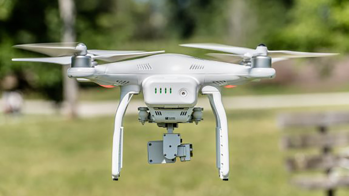
Unmanned Aircraft Systems, or UAS, are revolutionizing the way geospatial data is captured. High resolution aerial surveys that once required weeks of preparation can now be carried out virtually on-demand using small, computer-guided aircraft commonly referred to as UAVs (unmanned aerial vehicles) or “drones”.
This six week part-time studies course is designed to teach the safe and practical use of drones for aerial surveying. Participants will undertake a mapping project and employ UAS to acquire aerial images along a pre-calculated flight path.
Deliverables will include a high resolution digital terrain model, orthophoto mosaic, and NDVI analysis.
This course will interest those engaged in the fields of surveying and engineering, resource management, forestry and mining.
For more information, visit www.bcit.ca/surv1125

Very interested in this course
Wondering how to sign up and how much it costs? Also wondering what dates are available.
How much does the course cost and can it be done remotely
Hi Pascal, please visit the program page for more information: https://www.bcit.ca/study/courses/surv1125