Grads, industry, and faculty familiar with the BCIT Geomatics program rave about its long history and success at BCIT. Unfortunately, the term “geomatics” is a complete enigma to many, as are the many associated career prospects. So, what exactly are BCIT Geomatics students getting themselves into?
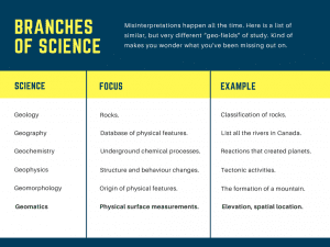
Let’s define Geomatics
The name Geomatics has been around for close to 40 years, however, it’s not quite a household name like other branches of science such as zoology, ecology, and meteorology. Instead, you’re more likely to be familiar with the different fields of study under Geomatics such as Land Surveying, Mapping, Hydrography, Geographic Information Systems (GIS), Global Navigation Satellite Systems (GNSS), and Remote Sensing.

Simply put, Geomatics aims to collect spatial data of the Earth’s surface and share that information with other applications (and other people).
What does Geomatics at BCIT look like?
Since 1964, over 1800 students have graduated from the Geomatics program. At first, the program offered a two-year diploma, but it has seen many changes over the past couple years.
As of March 2016, the Association of BC Land Surveyors recognizes the Geomatics Bachelor of Science as an accredited program. This means that graduates with a minimum 70% average can immediately become a Land Surveyor in-training, versus having to write more exams in order to get the in-training title.
Further, the Bachelor of Science accreditation replaced the former Bachelor of Technology degree title. This upgrade gives students more options when looking for further education such as pursuing a master’s degree.
The Geomatics path at BCIT offers a step-wise progression, starting with a two-year diploma program. A comprehensive review of the program has streamlined the Geomatics Engineering Technology Diploma, which focuses on the core theory and practical application of surveying and mapping while integrating new technology such as laser scanners and drones. Students from BCIT, and from other institutions, can then choose to complete the Geomatics Bachelor of Science with a further two years of study.
Your future in Geomatics
After graduation, a diploma student can look forward to becoming a Survey Technologist working on land development projects, mapping utilities, on resources management initiatives, or for the oil and gas industry. In the meantime, the Association of BC Land Surveyors offers the opportunity to start articling as a Land Surveyor in-training, which means grads could be well on their way to earning a Professional Land Surveyor designation.
More opportunities
A career in Geomatics is not restricted to the traditional field of land surveying. Diploma and degree graduates could be working for employers who specialize in the fields of:
- Airborne and terrestrial laser scanning (using lasers to get 3D geodata)
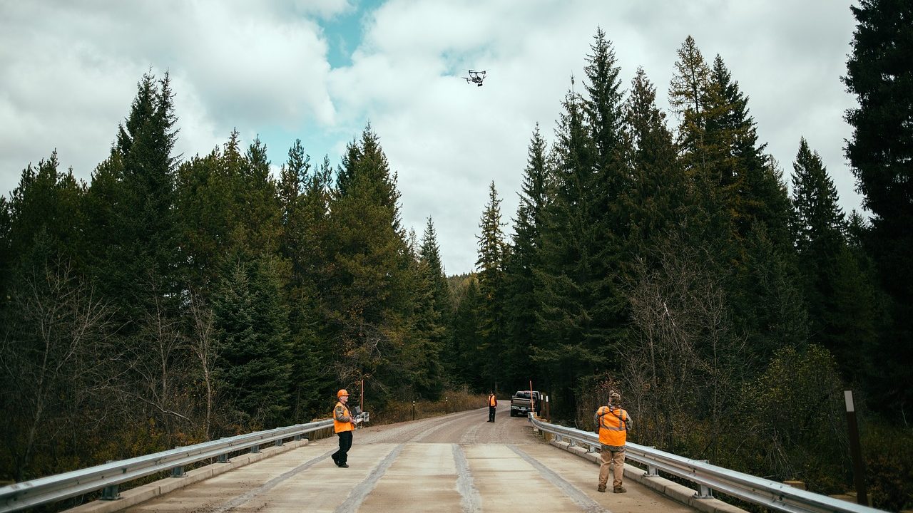
- Drone mapping (setting a flight plan for drones to survey inaccessible and possibly dangerous terrain)
- Photogrammetry (making spatial measurements using aerial photographs)
- Hydrographic surveying (measuring seafloor depth or depth of submerged objects with multi-beam echosounders)
- GIS (crime mapping; mapping of city utilities, wastewater systems, and land-use)
Recent technological advancements in these fields mean data can be quickly captured and analyzed for the use of:
- Large-scale engineering projects
- Resource mapping
- Film sets
- Forensics
- Accident scene reconstruction
Turns out, Geomatics is a lot cooler than it was 40 years ago.
Learn more about Geomatics and the School of Construction and the Environment.

Is this program open for International Students this year 2021?
Thanks Concordio,
Yes, depending on availability, please feel free to connect with our program assistant at geomatics@bcit.ca
or the International Services contact info:
https://www.bcit.ca/international-students/contact-international/