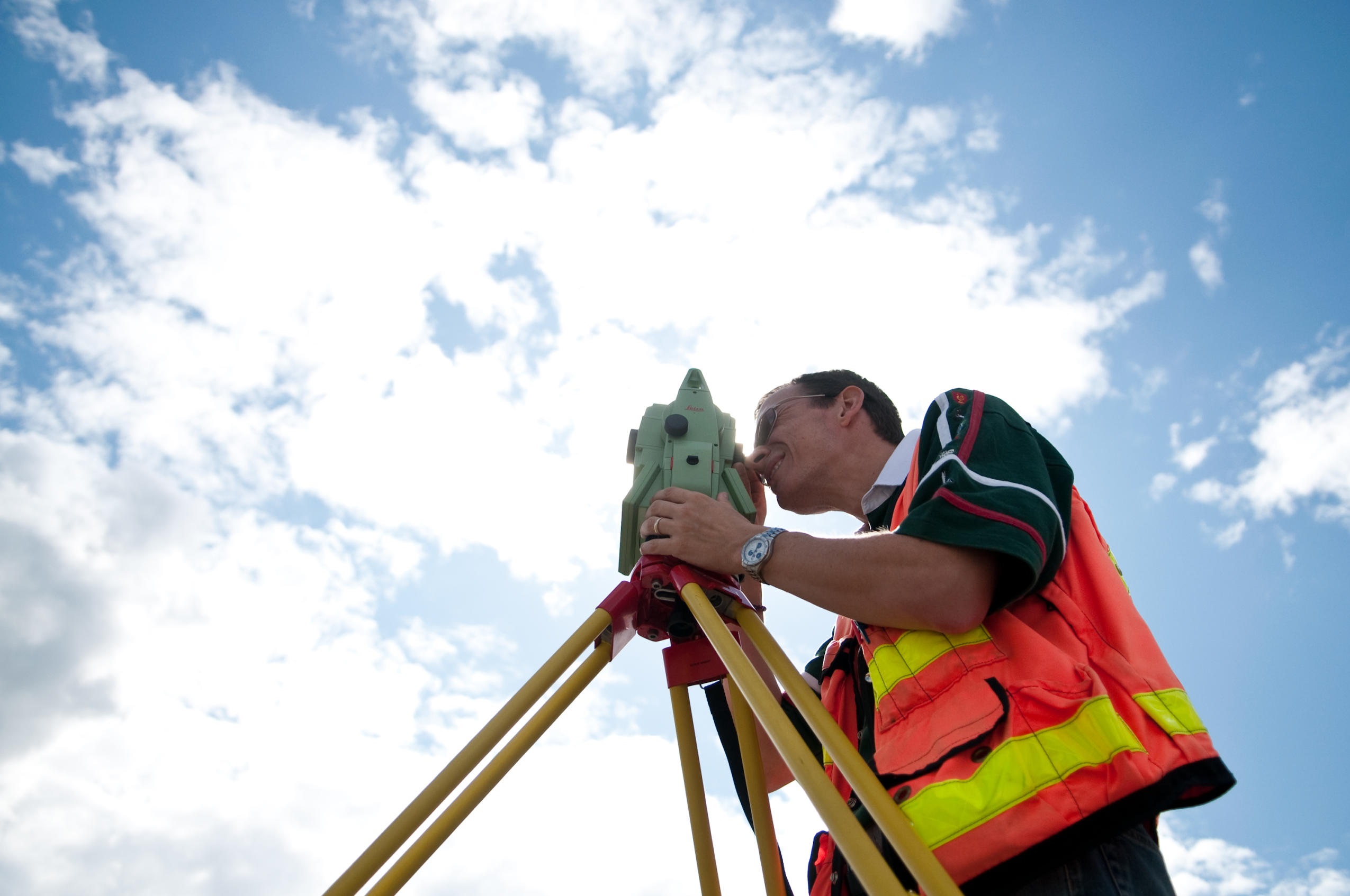
Students studying for a degree in Geomatics at the British Columbia Institute of Technology (BCIT) can now earn a Bachelor of Science (BSc) degree when they graduate in 2018.
What is Geomatics?
The name Geomatics directly relates to the measurement, storage, management, analysis, and presentation of geospatial data. The BCIT Geomatics Program is the only one in the province that offers credentials that fully integrate surveying and mapping components.
The Geomatics path involves two steps. First is the two-year diploma program and then upon completion, there is the option to continue for another two years to earn a Bachelor of Science degree. A comprehensive review of the program has streamlined the Geomatics Engineering Technology Diploma which focuses on the core theory and practical application of surveying and mapping. Students from BCIT, and from other institutions, can then continue on to earn a Geomatics Bachelor of Science.
A Career in Geomatics
Many graduates will go on to become British Columbia Land Surveyors and become members of the Association of British Columbia Land Surveyors, who have been strong supporters of both the program and the recent changes that have been implemented. As of March 2016, graduates of the Bachelor of Science in Geomatics program with a GPA of 70% or higher are admitted directly as a Land Surveyor in training and can begin articling toward becoming a Professional Land Surveyor in BC.
A career in Geomatics is not restricted to the traditional field of land surveying. Diploma and degree graduates could be working for employers who specialize in the fields of airborne and terrestrial laser scanning, drone mapping, photogrammetry, hydrographic surveying, and GIS. Recent technological advancements in these fields mean data can be quickly captured and analyzed for the use of large-scale engineering projects, resource mapping, film sets, forensics, and accident-scene reconstruction.
Bachelor of Science versus Bachelor of Technology
2018 graduates will be the first at BCIT to earn their Bachelor of Science in Geomatics. Chris Thornton, Geomatics Program Head, was in full support of the process and is eager to see what opportunities this brings for his students.
“Faculty and students have been advocating for the change from a BTech to a BSc to reinforce the scientific curriculum. Since a BSc has universal recognition as a credential it will provide greater opportunity for post-graduate education and set graduates on an exciting career path that could span multiple roles and global opportunities.” – Chris Thornton, Geomatics Program Head
The following excerpt comes from a letter of support from current 4th-year students demonstrating their drive to become respected professionals in their chosen field. This recent change to a BSc will give them the recognition they deserve:
“BCIT is respected for being innovative; its graduates are employable, ready for the workforce and can compete with the likes of many other institutions. By changing the credential to Bachelor of Science, graduates of the BCIT Geomatics Program will be positioned at a similar level as their counterparts. With the establishment of an equal playing field, true competition can exist and BCIT graduates will be able to enhance their already stellar industry reputation.”
The redefinition of the degree designation goes beyond a simple change of name – it provides greater opportunities for all graduates as they start their professional careers.

I am a land surveyor from Nigeria but passed through diploma programs till my registration as a Surveyor If I am to be admitted into the degree program,at what level I will be admitted?I am expecting your quick response.
Hi Olalere, thanks for reaching out. Please contact BCIT Program Advising.